Thor Combat Application Technology
FUTURE-PROOF AERIAL SYSTEMS
Operational requirements change fast. Technology moves even faster.
TCAT UAVs are designed so you are never left behind.
ENDURANCE
Up to 2 Hours
OPERATIONAL RANGE
Up to 80+ km / 49 miles
Wind resistance
Category 6 (49kmph / 30mph)
PAYLOAD
Up to 10kgs / 22 pounds
The Choice Operators Are Given
Most platforms make you choose between capability and control.
Proprietary systems create vendor dependence, while commercial drones lack operational endurance and survivability. TCAT delivers a sovereign, mission-ready capability designed for defence operations.
How the platform worksProprietary defence platforms
Capable, but locked. Batteries, payloads and software come from a single supplier, and lead times sit offshore.
COMMERCIAL OFF THE SHELF DRONES
Affordable and fast to deploy, but rarely built for endurance, payload, degraded conditions or sustained operational use.
TCAT
A modular platform you configure for the mission, service with your own crew and upgrade in place. Buy once, upgrade as needed, never left behind.
In the field
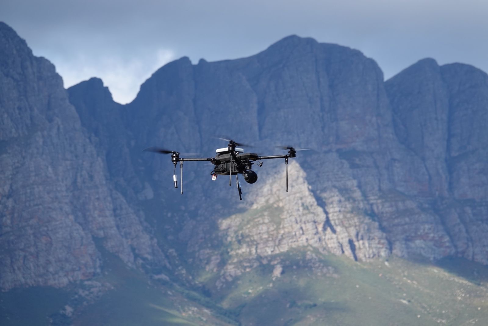
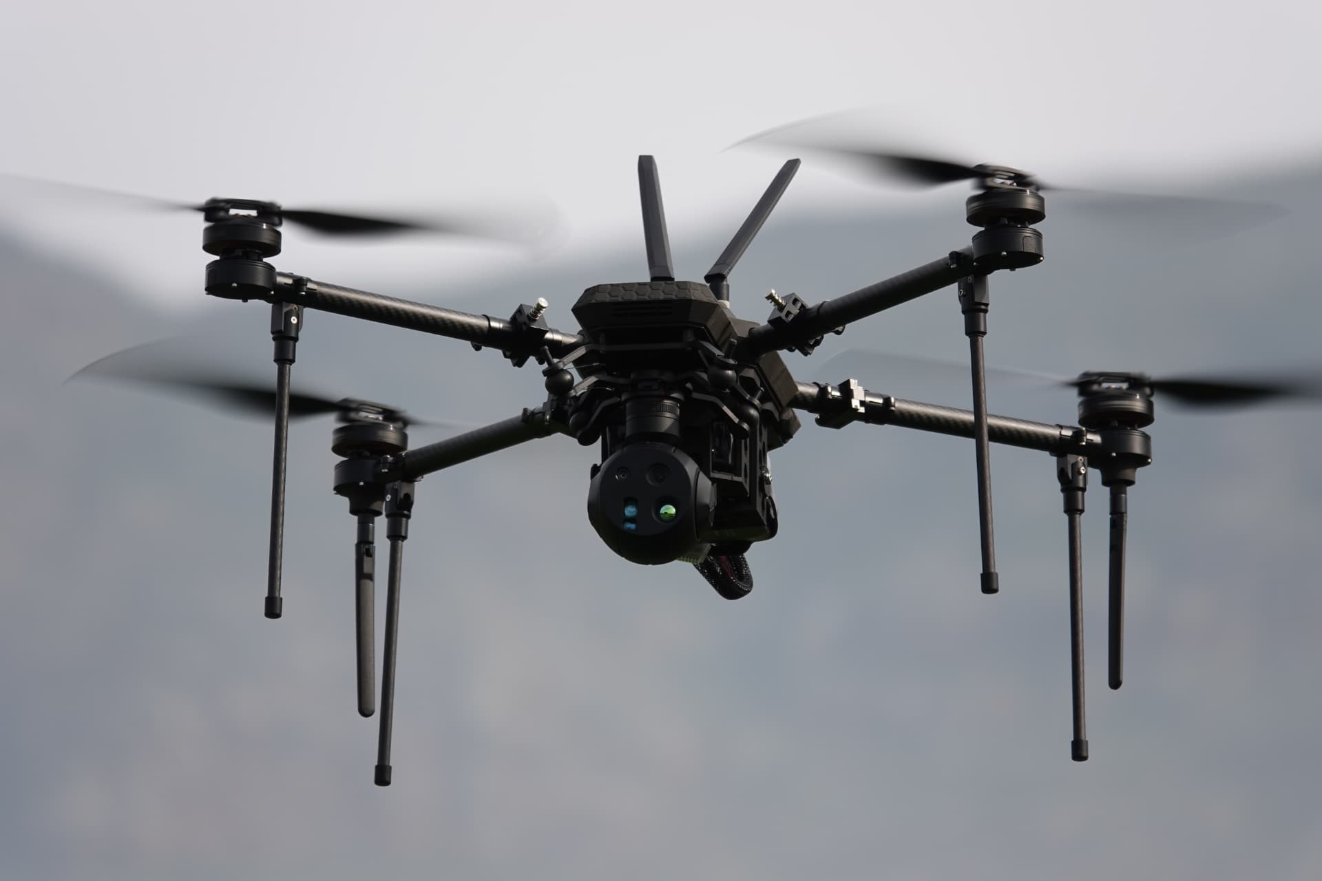
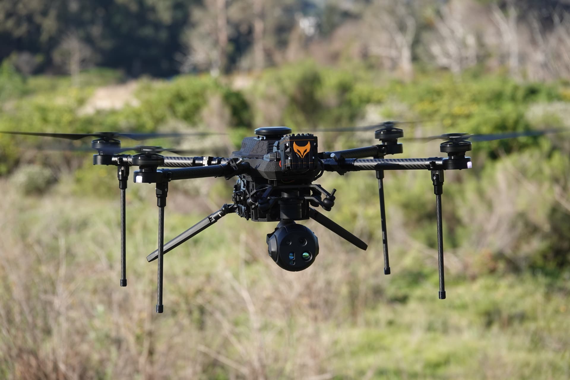
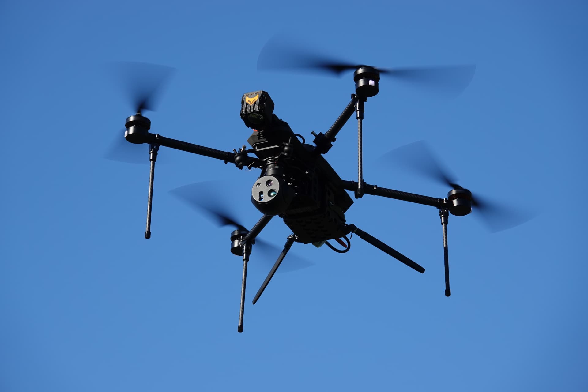
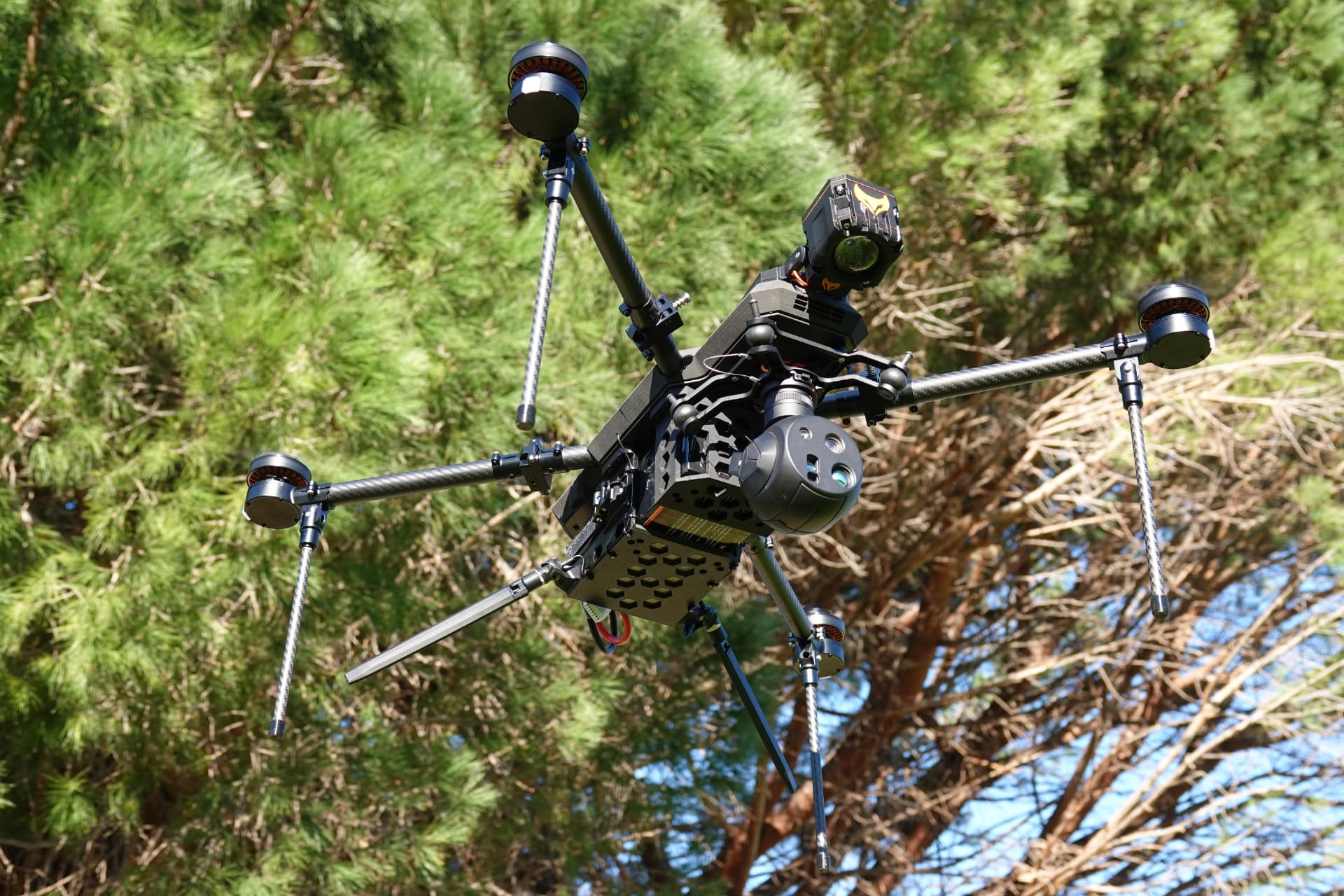
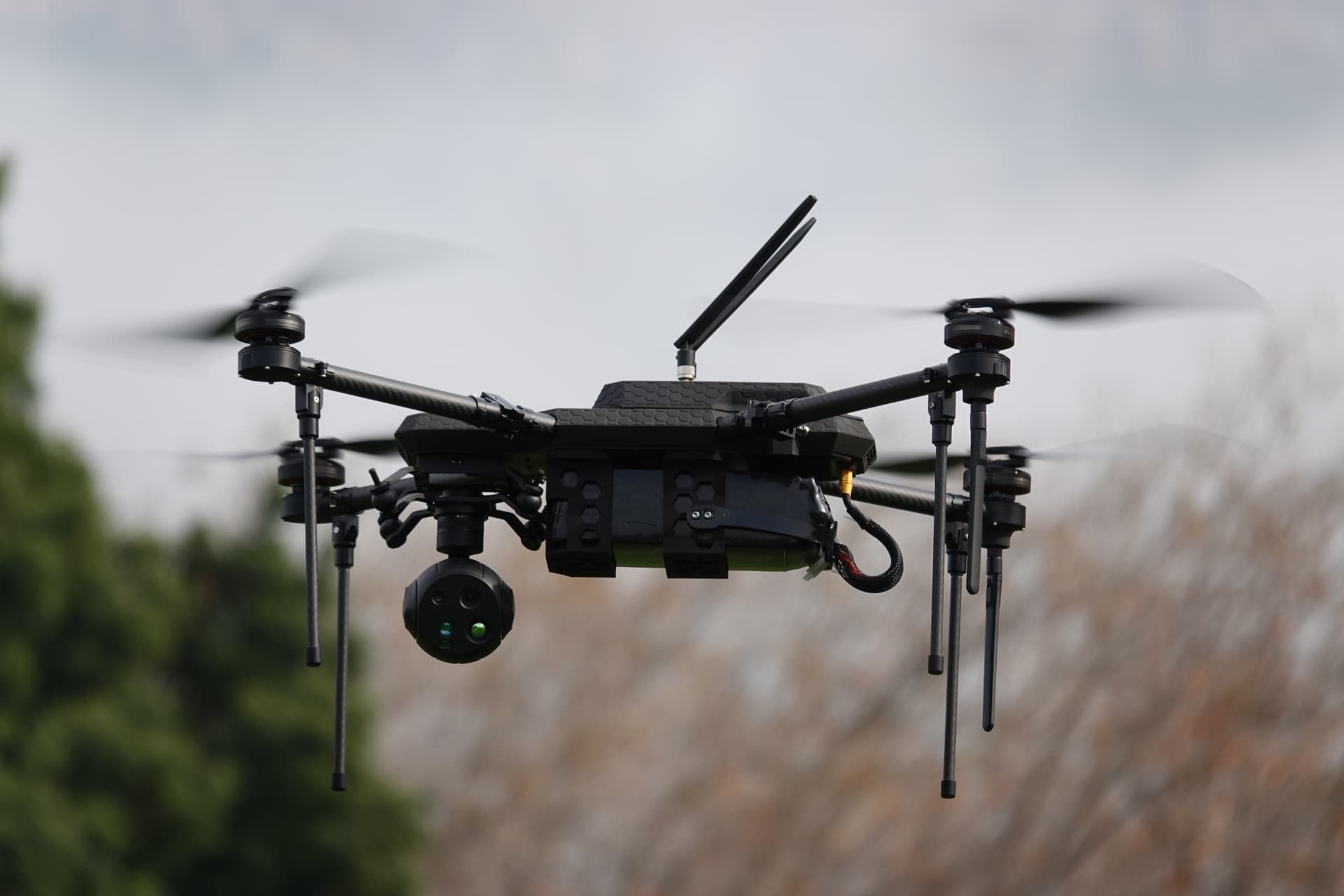
The Flagship Platform
RECCE
Multirotor · Carbon composite · Single-operator
One airframe. Three mission configurations. The aircraft doesn't change, the payload, sensor and software stack does. Select a configuration to see what changes.
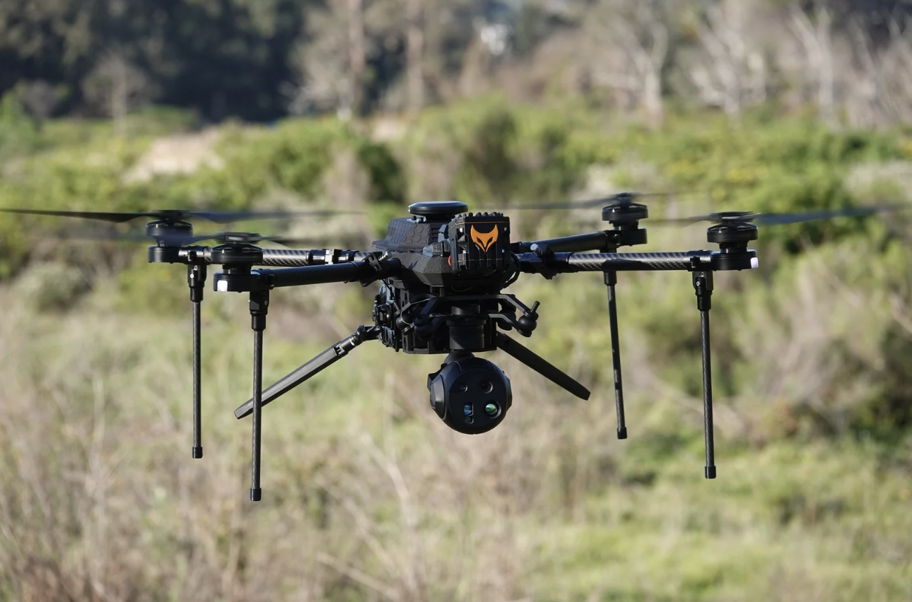
FIND PEOPLE FASTER, WHEN EVERY MINUTE COUNTS.
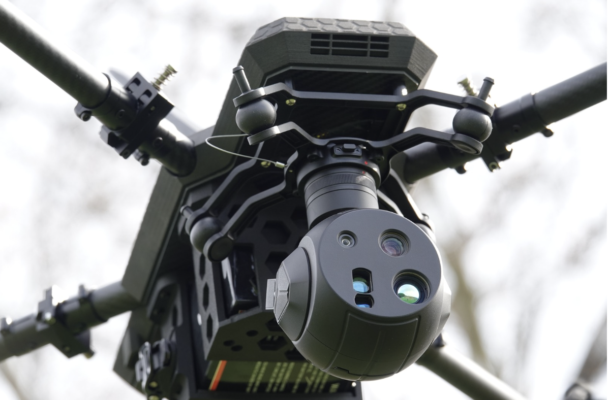
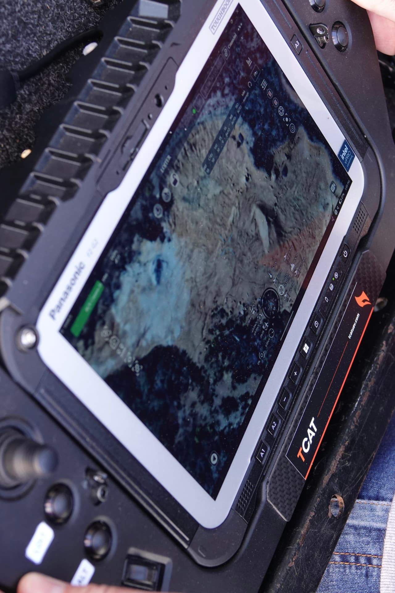
Thermal and daylight imaging on a stabilised gimbal provides rapid aerial search across challenging terrain. Operators identify and track persons of interest while incident commanders direct resources using a shared, real-time operational picture.
- Thermal / EO gimbal
- Search-pattern autonomy
- Live downlink to command
- Spotlight / loudhailer option
Find people faster: More endurance. More search time. More lives saved.
The Margin
Outrange.
Outlast.
Outperform.
TCAT delivers long-range, mission-configurable drone platforms designed for modern ISR, and tactical operations. Three words, three measurements, each one against a stated baseline.
Outrange
Longer range (distance)
Superior reach. Extend operations and ensure mission success.
Outlast
Longer time on target
Extended deployment. Persistent focus for critical missions.
Outperform
Lower battery cost per year
Maximised efficiency. Significant total cost of ownership reduction.
Basis of comparison
Measured against a leading compact enterprise multirotor ISR platform using each manufacturer's standard communications system under unobstructed line-of-sight conditions. Internal range testing, July 2026.
Open Architecture
NDAA COMPLIANT ?
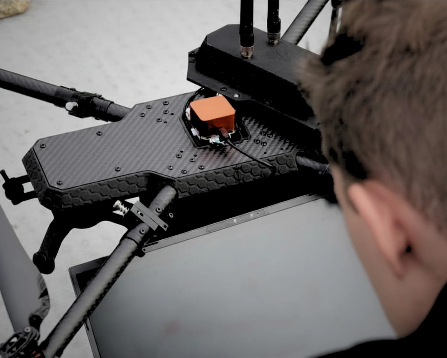
The RECCE is built on a modular, non-proprietary architecture that can be configured to support NDAA compliance requirements. With flexible integration of trusted flight controllers, communications systems, GNSS modules, payloads, and encryption technologies, RECCE enables organisations to meet evolving security, supply chain, and data sovereignty requirements without vendor lock-in.
Built for mission success. Designed for trusted operations.
Request the component list →Key Benefits
Who we serve
THE SAME PLATFORM. MULTIPLE MISSIONS.
Every configuration operates on the same airframe, control system, training, and support framework. Adapt the payload to the mission, not the platform.
01 / ISR / Persistent Awareness
Intelligence, surveillance & reconnaissance (ISR)
Maintain persistent intelligence over wide areas with long-endurance surveillance, target detection, and real-time situational awareness.
02 / Force Protection / Overwatch
Force protection
Provide continuous overwatch for personnel, forward operating bases, convoys, and critical infrastructure to enhance operational security.
03 / Border & Maritime Domain
Border & maritime security
Monitor coastlines, borders, and remote approaches with persistent surveillance across land and maritime environments.
04 / Tactical Support / Command
Tactical operations
Support tactical missions with real-time aerial intelligence, target tracking, and shared situational awareness for command elements.
05 / Search & Rescue / Recovery
Search & recovery
Rapidly locate personnel using stabilised thermal and daylight imaging across challenging terrain while providing commanders with a live operational picture.
06 / Survey & Infrastructure
Engineering, survey & inspection
Collect survey-grade LiDAR and multispectral data for route assessment, infrastructure inspection, asset integrity, and terrain analysis without exposing personnel to unnecessary risk.
Defence & government
Mission capability. Controlled access.
TCAT supports defence and government programmes with sovereign UAS capability engineered for operational requirements. Programme engagement, technical documentation, and capability information are provided through controlled channels in accordance with export control regulations and authorised end-user verification.
Programmes are conducted under National Conventional Arms Control Committee authorisation and in accordance with the Wassenaar Arrangement on export controls for conventional arms and dual-use goods and technologies. Capability documentation is released on request, subject to end-user certification.
Authorisation
National Conventional Arms Control Committee [NCACC]
Export controls
Wassenaar Arrangement participating state
Civil aviation
SACAA Part 101 / SA-CATS 101
Get in touch
Tell us the mission.
Describe the operation and we will advise whether the platform is suited to it.
info@tcatuav.com